Aerial Video
Aerial videos from fully CAA-certified commercial drone pilots in-house who are fully insured with public liability insurance. Get a quote today.
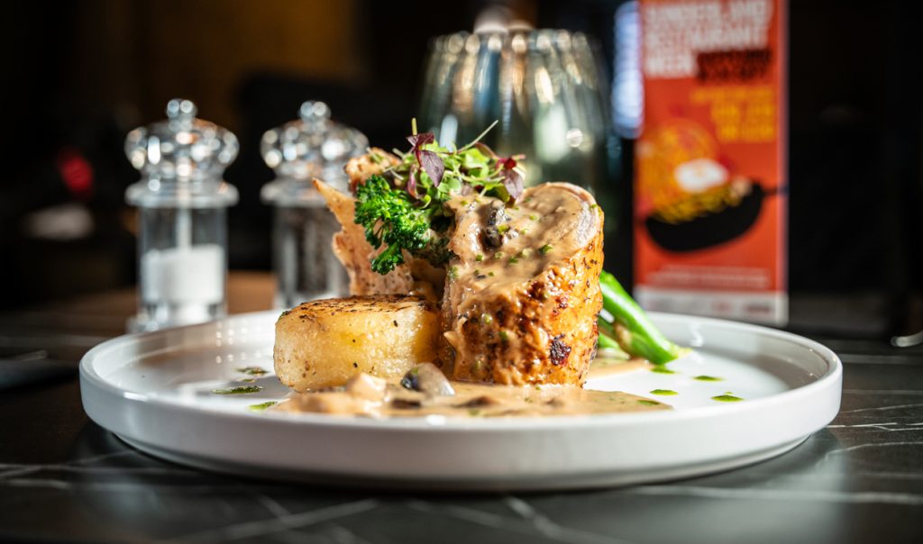
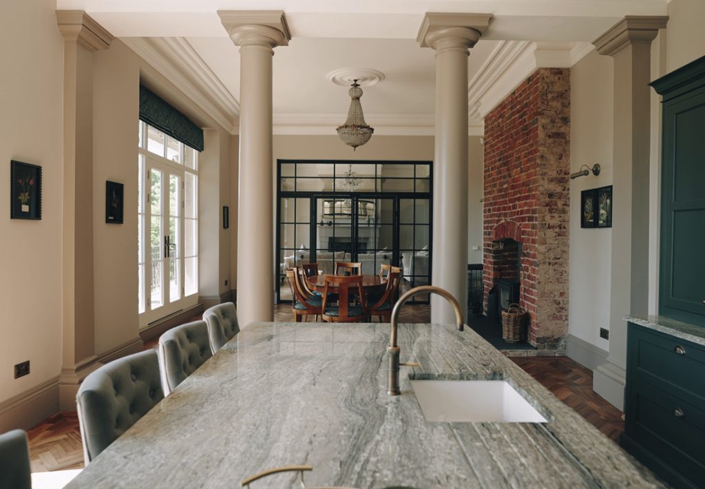
Creative Production Company
Aerial videos from fully CAA-certified commercial drone pilots in-house who are fully insured with public liability insurance. Get a quote today.
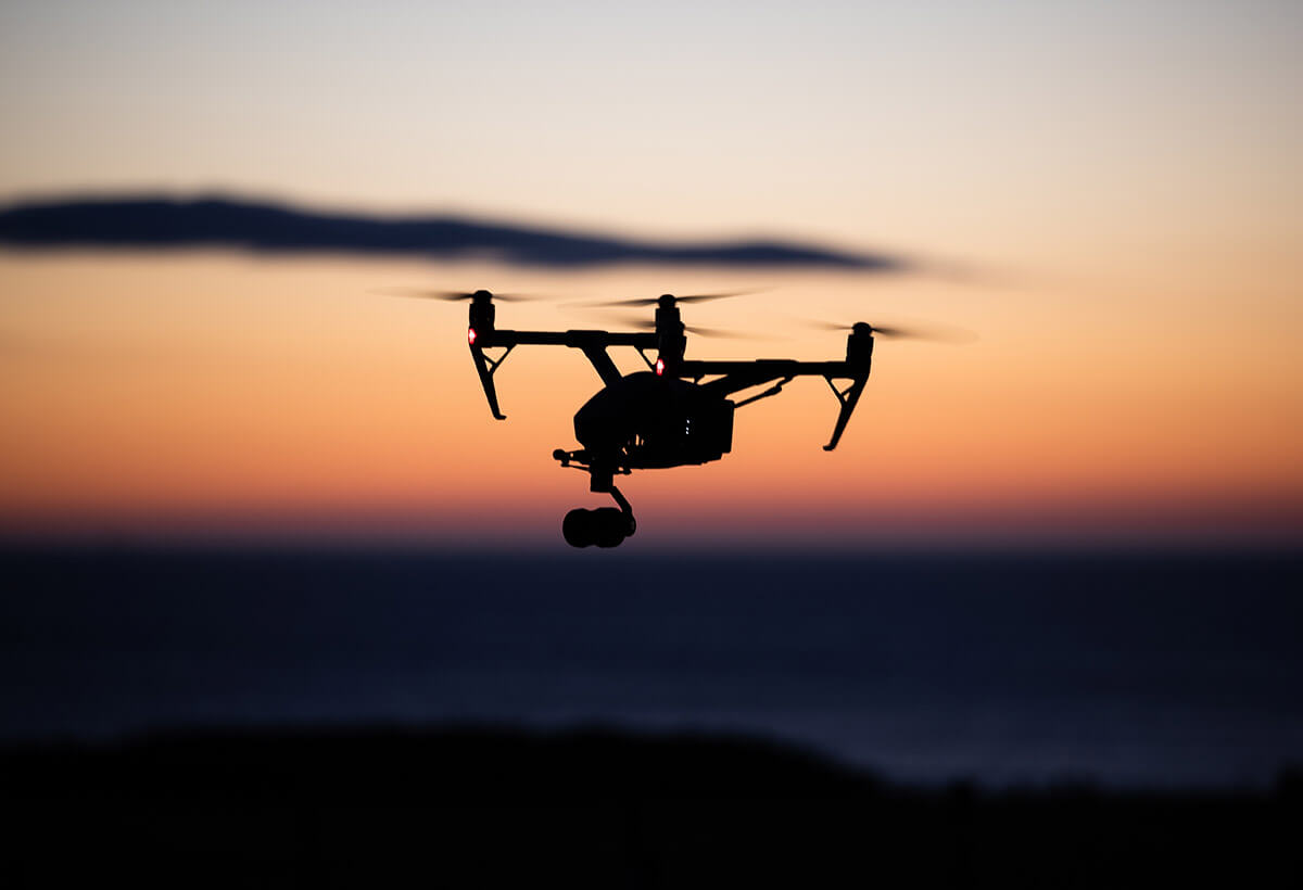
Aerial videos/drone videography are the perfect way to show off your business and we have multiple fully qualified CAA-certified drone pilots in-house who can capture exactly what you require. Our expert pilots will capture what makes your location, event or service special using cinema-quality drone cameras and the latest production techniques.
Our state-of-the-art drones can shoot up to 5.2K RAW, 4K slow-motion and all up to an altitude of 400ft. One huge edge that we have within this industry, is our cinematography experience. Footage from aerial videos really does look great from most angles, however with our skill set and experience, we will record your subject with the most creative framing, perspective and movement, capturing a shot that will be jaw-dropping, filling you with the excitement to share it.
Footage from Aerial Videos really does increase the production value of video content. Historically, capturing such smooth and cinematic aerial footage was associated with the use of custom helicopters with specialised camera equipment attached, costing a small fortune to orchestrate. Now, with DJI at the forefront of drone technologies, aerial footage and imagery is much more affordable, efficient and applicable for a multitude of different purposes.
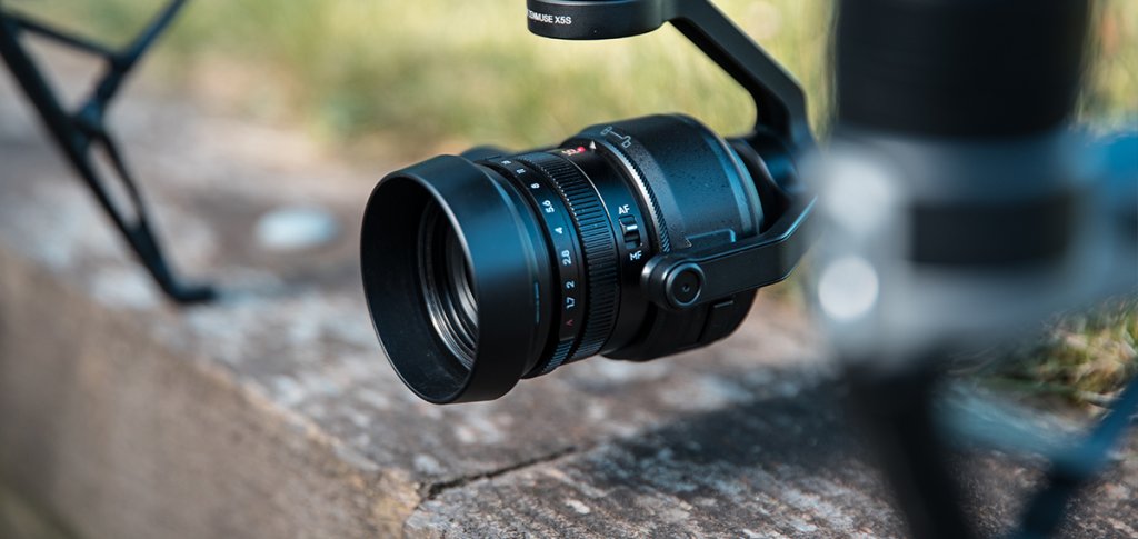
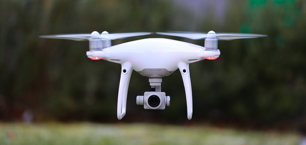
There are many drones available on the market and our DJI Inspire 2 is one of the best, used in Hollywood feature films and critically acclaimed documentaries such as Planet Earth, the Inspire 2 drone is a thing of beauty. One of the amazing features with the Inspire is that we can use two operators when capturing the subject. This means, that one operator will be piloting the aircraft, whilst the other controls the camera, working together to capture unbelievable smooth, creative and cinematic footage. With interchangeable lenses on the detachable Zenmuse X5s drone camera, a 360 degree rotating gimbal, an acceleration of 0-50mph in 5 seconds and a top speed of 58mph, the Inspire 2 is an exceptionally versatile tool for any aerial project.
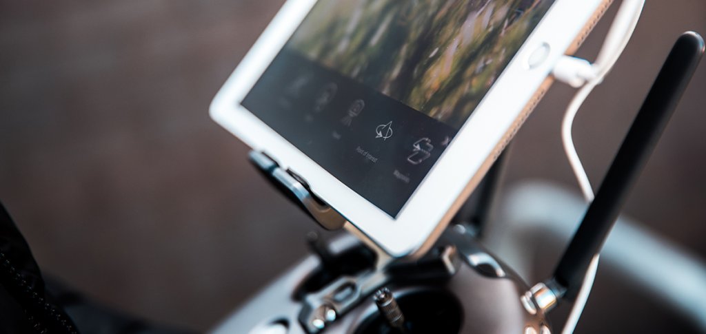
We can capture your project in a range of different ways. From manual operations with two active operators, to automatic intelligent flight modes such as ‘spotlight pro, active track, tapfly, point of interest and waypoint mapping’ that enable us to orchestrate complex aerial operations with accuracy. All with built-in obstacle avoidance sensors to ensure maximum safety.
With the ability to capture CINEMA DNG RAW and ProRes file types, we can heavily manipulate the colours in the footage we capture, allowing us to get extremely creative. Our editors will colour-grade the video to achieve a cinematic look that fits your project or utilise the post-production software to accurately match the footage from the ground cameras below.
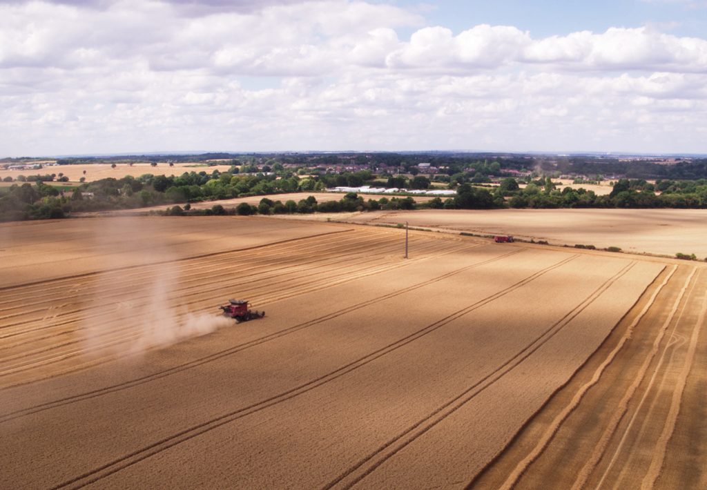
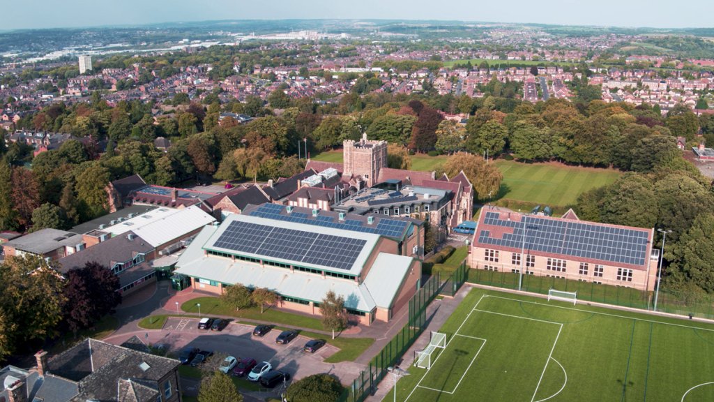
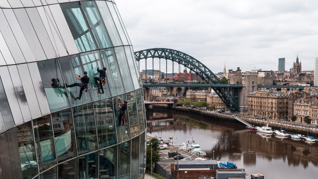
Aside from the cinematic and creative side of aerial video, our drones have amazing practical applications. Drone surveys are a faster, safer and more cost-efficient way to survey at height.
Sometimes referred to as aerial surveys, UAS (Unmanned Aerial System) surveys, or UAV (Unmanned Aerial Vehicle) surveys, drone surveys are an increasingly popular method of surveying form the air.
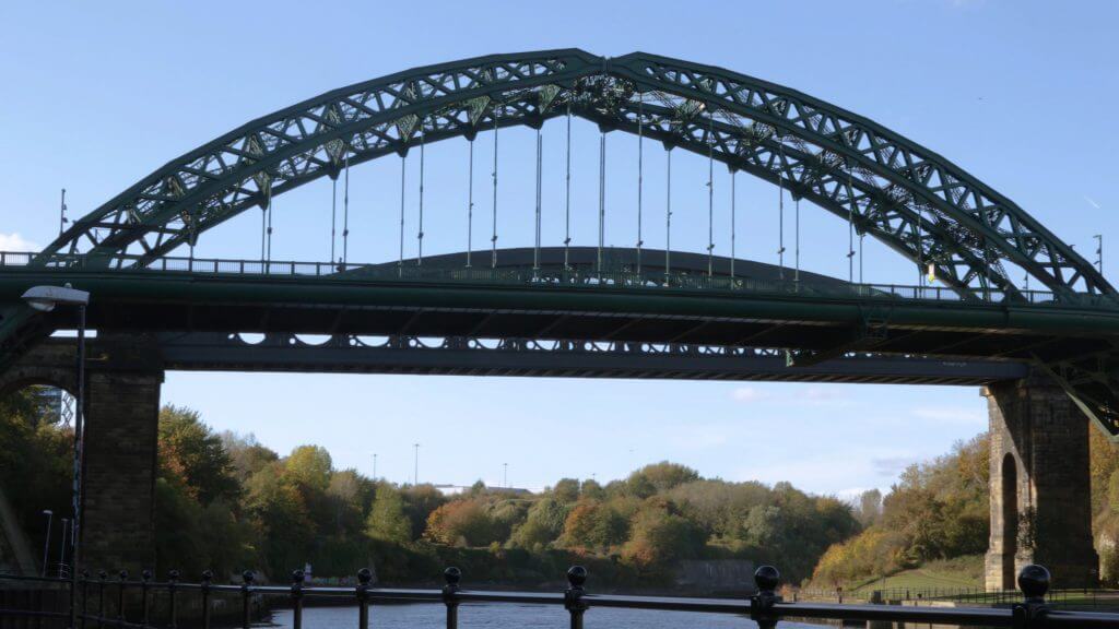
For roof inspections, bridge or large building surveys, drones are fast becoming the sensible choice for engineers, construction and asset managers because they offer great advantages in safety and speed of access.
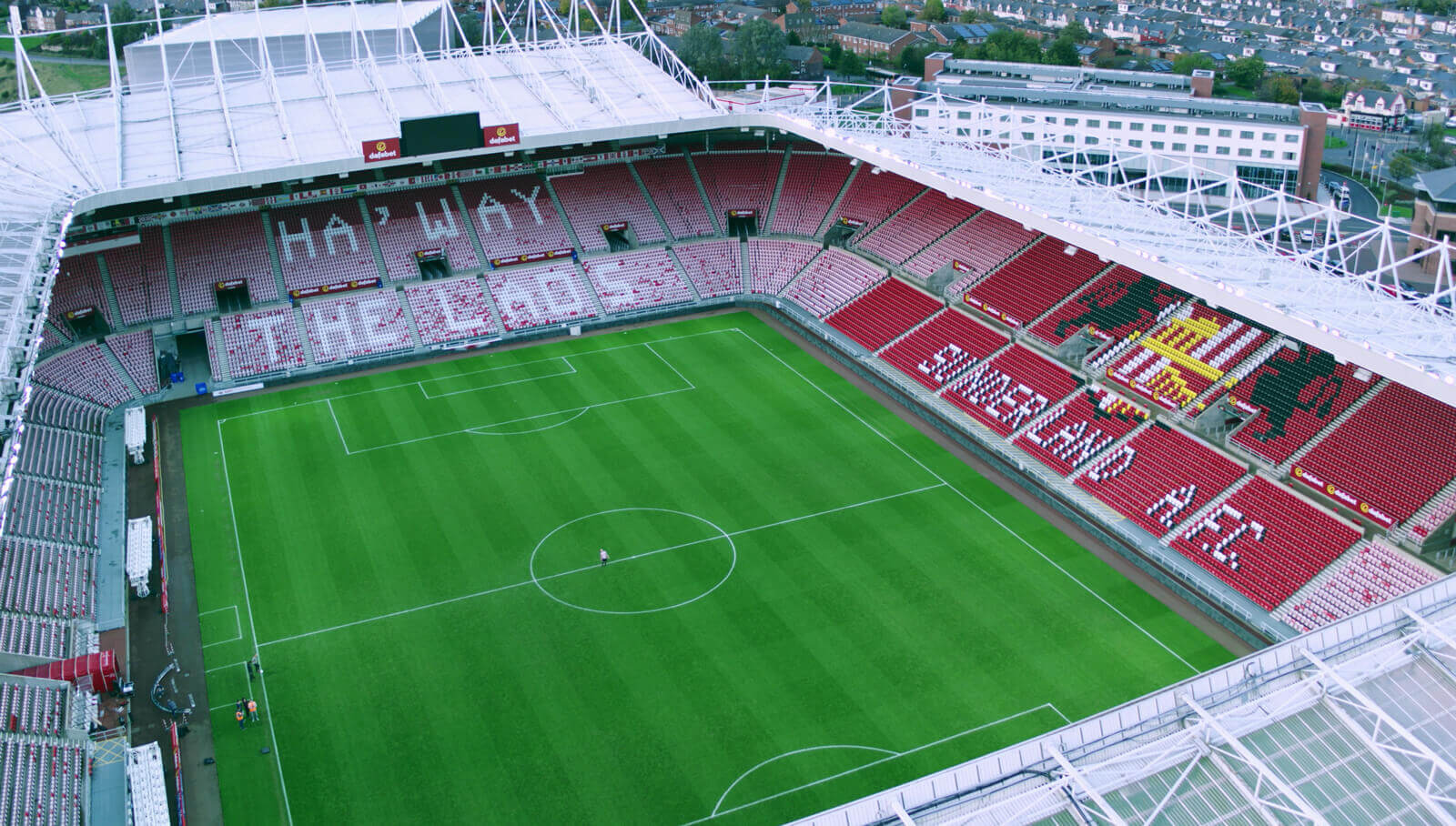
Through aerial photography, we can capture spectacular images that showcase any subject. Drone Photography offers a unique perspective of your subject, that can bring your marketing materials to life. Because we use state-of-the-art drone technology, bespoke post-production software and cinematography experience, we can capture RAW still images at 20.8 megapixels, providing you with creative and crisp aerial images, ready for use in your marketing materials.
Aerial imagery also provides a common language to help communicate complex concepts or problems to developers, planners, decision makers and society at large. Aerial photogrammetry is a method of surveying involving the measurement and interpretation of features directly from the aerial photographs captured.
Alternatively, our drones can be used to photograph hard-to-reach areas to collect information and status updates in areas that would usually require scaffolding or manned cranes, saving time, money and providing a safer solution.
If you’re in need of professional aerial videos, photography or surveying services, then click the button below and go through our contact page to receive a quote!